
Kapellen und Pestheilige
OpenMeditative hike 3
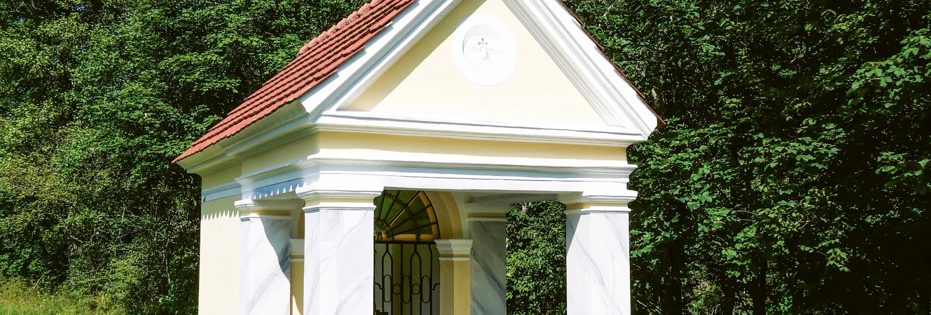
On this hike you will discover the following chapels and plague saints:
- Cross Chapel, at the Rindermarkt bridge
- "Red Cross", just before the wooden bridge on the main road
- Brigittenhof Chapel, behind the tennis court near the right bank of the Mur
- Florianibrunnen, in Anna-Neumann-Straße
- Marian column with the plague saints, Schillerplatz
Characteristics
Best season
January
March
March
April
May
June
July
August
September
October
November
December
The tour in numbers
medium
Level of difficulty
4,2 km
Route
1:04 h
Time
60 hm
Uphill
50 hm
Downhill
849 m
Highest point
Map & downloads
More information
Coming from Judenburg via Unzmarkt to Scheifling. Turn left at the first traffic circle and continue to Friesacher Tor.
Coming from Murau via Ranten (or Stadl an der Mur), drive straight on to Murau. Turn right at the double traffic circle and drive via Schillerplatz and Liechtensteinstraße to Friesacher Tor.
The hike starts at the Kreuzkapelle chapel on the Rindermarktbrücke bridge. Cross the bridge, keep left and walk along Raffaltplatz and Gustav-Baltzer-Straße to the "Red Cross". Along the main road in the direction of Tamsweg, cross the wooden bridge on the left-hand side and walk to the tennis hall. Return via the railroad crossing to Murau-West and the Wurmbvilla. The path leads back to the Rindermarktbrücke bridge. Cross it again, but this time turn right and walk along Anna-Neumann-Straße & Liechtensteinstraße to Schillerplatz.
In the town center of Murau there are several places to stop for a bite to eat afterwards.
With the BusBahmBim app from Verbundlinie, timetable information has never been easier: all bus, train and streetcar connections in Austria can be queried by entering locations and/or addresses, stops or important points. The app is available as a free app for smartphones (Android, iOS) - on Google Play and in the App Store.
ÖBB www.oebb.at | Verbundlinie Steirmark www.busbahnbim.at
The Murau building yard offers parking facilities.
The ideal time for this tour is from May to October. Information brochures are available from the various information offices.


