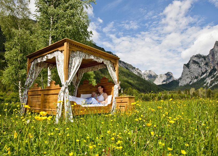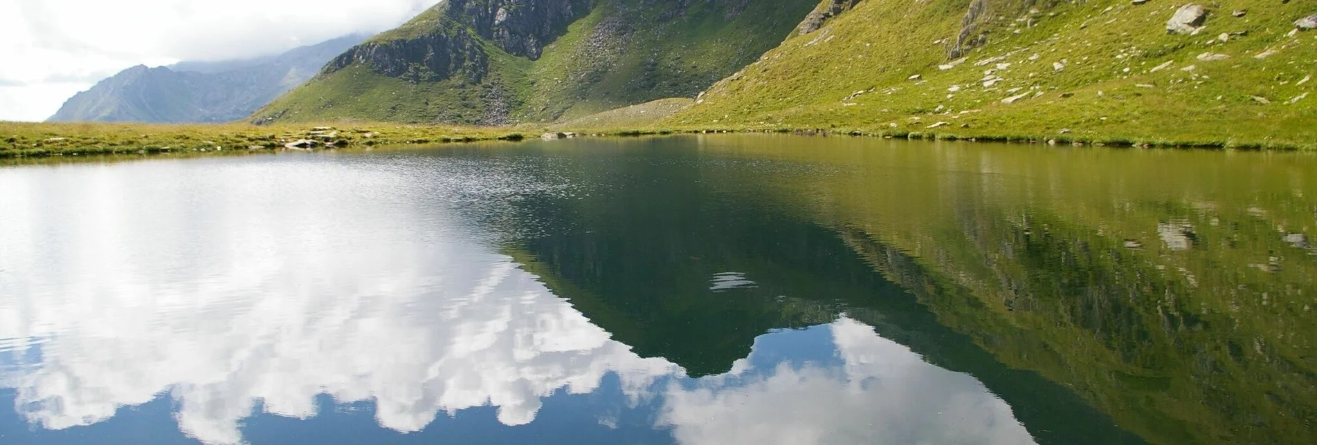
Hiking route Seifriedsenke - Touren-Impression #1 | © Tourismusverband Region Murau Hiking route Seifriedsenke - Touren-Impression #1 | © Tourismusverband Region Murau

Seifriedsenke

Open
This is a moderately difficult tour, but it seems harder than it is.
It's a very nice, leisurely hike to Lake Funkl, which can be completed in 1 to 1:30 hours even by walkers with less physical fitness. The hike to the Seifridsenke is not difficult, but is rewarded with a beautiful view.

Characteristics

Skill
Fitness

Best season

January
February
March
April
May
November
December

The tour in numbers

medium
Level of difficulty
3,6 km
Route
2:03 h
Time
620 hm
Uphill
15 hm
Downhill
2137 m
Highest point

Map & downloads

More information

Coming from Judenburg via Unzmarkt to Scheifling. Turn right here towards Murau. In Niederwölz turn right towards Oberwölz.

Coming from Murau via Teufenbach to Niederwölz. Turn left here towards Oberwölz.

Coming from Tamsweg via Ranten, to St. Peter and via Pöllau am Greim to Oberwölz.

At the hut on the west side along the marking no. 927 in a few steep hairpin bends, past the waterfall to the upper alpine pasture. From here follow path 927/918 to Funklsee. From Funklsee continue following the 918 marker to the Seifridsenke.

The way back is on the same route.

  • Stop at the Hölzlerhütte or Knlollihütte

Please note the opening times of the huts.

With the BusBahnBim app from the interconnected line, timetable information is easier than ever before: all bus, train and tram connections in Austria can be queried by entering locations and/or addresses, stops or important points. The app is available as a free app for smartphones (Android, iOS) - on Google Play and in the App Store.

ÖBB www.oebb.at | Styria connection line www.busbahnbim.at 

Public parking spaces are available directly at the Hölzlerhütte.
The ideal time for this tour is from June to October. Information brochures are available at the various information offices.

Gallery

What the weather will be like

St. Peter am Kammersberg (853m)

Morning
sunny
6°C
0%
0 km/h
Noon
sunny
21°C
0%
10 km/h
Night
very sunny
17°C
0%
5 km/h
Early clouds will clear to leave the region with a dry and sunny day.
Morning
very sunny
9°C
0%
0 km/h
Noon
very sunny
22°C
0%
10 km/h
Night
very sunny
17°C
5%
5 km/h
Dry and sunny throughout the day with hardly any clouds.
01.05.2024
sunny
6°C 21°C
02.05.2024
foggy
7°C 17°C
03.05.2024
foggy
6°C 14°C

Nearby accommodation options

Continue to search

You may also be interested in

Recommended tours

Accessible by public transport
lärchkaralm_img_60448775 | Christoph Lukas | © Erlebnisregion Schladming-Dachstein
Schladming-Dachstein easy Open
Route 6,5 km
Duration 2:05 h

Lärchkaralm

Accessible by public transport
St. Peter am Kammersberg | René Hochegger | © Tourismusverband Region Murau
Sankt Peter am Kammersberg medium Open
Route 12,6 km
Duration 4:34 h

Nickelberg hike

Accessible by public transport
St. Peter am Kammersberg | René Hochegger | © Tourismusverband Region Murau
Sankt Peter am Kammersberg medium Open
Route 9,2 km
Duration 4:04 h

Stolzalpe

Accessible by public transport
Brücke am Weg zur Lärchkaralm. | Roland Gutwenger | © Tourismusverband Grimming-Donnersbachtal
Schladming-Dachstein easy Open
Route 10,4 km
Duration 3:20 h

To the Lärchkar Alm and Stalla Alm

Accessible by public transport
Schloss Feistritz | René Hochegger | © Tourismusverband Region Murau
Sankt Peter am Kammersberg medium Open
Route 12,8 km
Duration 4:19 h

Feistritzgraben round

Accessible by public transport
hohenwart, eiskarspitz, glattjoch_img_9743062 | Alexander Brunner | © Tourismusverband Region Murau
Murtal challenging Open
Route 16,5 km
Duration 8:15 h

Hohenwart, Eiskarspitz, Glattjoch

Accessible by public transport
Augustinerbründl | Jasmin Schmidt | © Tourismusverband Region Murau
Schöder medium Open
Route 11,0 km
Duration 3:10 h

Augustinerbründl round